
Marple Township ZIP Code Directory Coverage
The Marple Township ZIP code directory uses only postal labels supported by official local evidence. Broomall is the usual township postal identity, yet a Township facility can carry a Media or Springfield postal label. The table is a documented set of examples, not a claim that every ZIP touching the municipal boundary has been identified. USPS delivery geography and Marple Township jurisdiction are different systems.
| ZIP | Official local evidence | Postal label | Research note |
|---|---|---|---|
| 19008 | Township office at 227 S. Sproul Road | Broomall | Main administrative postal identity, not a boundary |
| 19063 | Paxon Hollow Country Club township address | Media | A Township facility with a Media label |
| 19064 | 504 Eagle Road in Zoning Hearing Board minutes | Springfield | A Marple Township premises with a Springfield label |
Official sources did not establish exhaustive ZIP coverage, ZIP population, a local ZIP realignment, or precise neighborhood polygons. Keep the exact address in the search and verify its current delivery ZIP before moving to municipal or parcel records.
The three rows have different evidentiary roles. The Broomall entry is supported by the Township office and Broomall Post Office context. The Media entry documents that a Township-owned facility can use a county-seat postal label. The Springfield entry documents that a Township premises can use a neighboring postal label. They are not neighborhood boundaries, and they should not be expanded into an unsourced list of every road or subdivision served by each ZIP code.
Broomall, Media, and Springfield Labels
Broomall 19008 is the familiar postal label for Marple Township's government address and a Broomall Post Office listing. Media 19063 appears with Township-owned Paxon Hollow Country Club, while official Zoning Hearing Board material places a Marple Township premises at a Springfield 19064 address. Those examples show why an old letterhead, a directory entry, or a delivery label needs a parcel or Township check before it is treated as municipal geography.
Marple Township's Government and street-map route gives address context such as ward, precinct, polling place, and trash-day geography. It does not turn a postal label into a list of people.
For old correspondence or family material, retain both the postal label and the physical address as printed. A later property record may call the same area by a parcel, subdivision, or legal-description term. The address should be checked at the time of the record, because postal delivery labels are practical mail directions, whereas Township governance and County assessment records use their own geographic frameworks.
Verify a Marple Township ZIP Code
For a present delivery question, use the USPS ZIP Code Lookup by Address. Enter one exact street address at a time. That result is the final delivery check because it is tied to the address rather than a broad community label. If the Township boundary itself matters, consult the Township or County record path separately.
The official USPS address-to-ZIP interface is shown here.
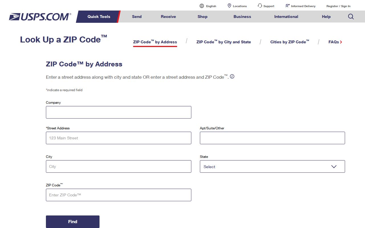
The ZIP returned by USPS validates delivery for that address, not ownership, residency, or municipal jurisdiction.
A USPS result should be recorded with the date checked and the complete street address. Do not replace the property's legal description with a ZIP code, and do not use a ZIP-only query as a substitute for a parcel identifier. This small distinction is crucial when the question changes from where a letter is delivered to which County record documents a particular tract or recorded transfer.
| Input | One complete delivery address |
|---|---|
| Result | USPS mailing ZIP associated with that address |
| Next record | County parcel or Township map for jurisdiction and property context |
Marple Township ZIP Code Parcel Route
After USPS confirms the delivery ZIP, use the exact street address in the County real-estate and tax system to locate the site, owner context, and folio or map number. The County's real-estate and tax records entry leads to that official property route. The Recorder then recommends Parcel ID for recorded documents. This is a postal-to-parcel workflow, not a ZIP-wide name search.
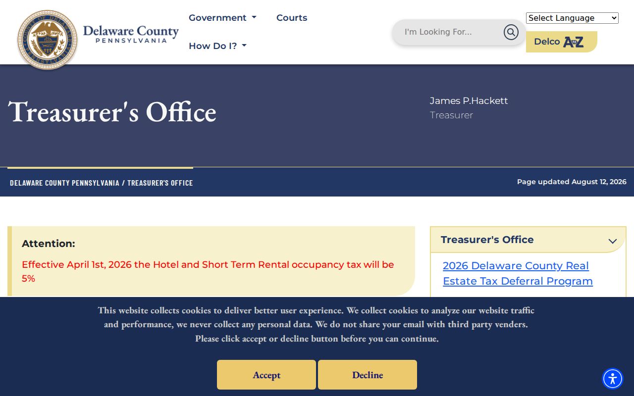
A property result separates site address, tax mailing address, parcel identifier, and owner record, which are distinct facts.
The County's parcel-information route is another official doorway to the address, folio, and property-record sequence.
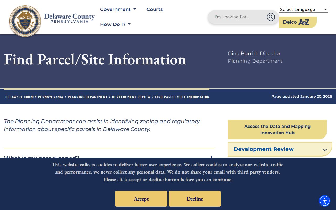
Carry the folio or Parcel ID forward to a Recorder document only after the address and parcel match.
County property information and mapping have a split custody arrangement. The Board of Assessments maintains parcel information, while the Office of Data and Mapping Innovation provides mapping, data requests, and County maps. The public parcel layer can show attributes such as PIN, parcel identifiers, municipality, site address, legal description, size, and geometry, but it has no owner field. Use the assessment record for the responsible parcel card and the Recorder for the deed or other recorded document.
No ZIP-Wide Marple Township Search
The research found no observed ZIP filter for a County property-owner search or Recorder Cloud Search. Recorder Quick Search uses Parcel ID, party, subdivision, document type or number, and recorded-date controls. County assessment and GIS pages did not expose a ZIP search in the research browser. UJS has a conditional Parcel ZIP Code field in a court calendar or case schema, not an address directory.
Note: Where a portal does not show a ZIP filter, use the exact address and documented parcel route instead of assuming a result count exists.
County Advanced Search was observed with municipality, street name and number, parcel number, tax map, school district, building, land-use, sales, and other property criteria. The documented workflow is municipality, then a partial street name without a suffix, then search. ZIP is not one of the captured criteria. That is a local limitation worth stating because it prevents a reader from spending time looking for a filter the County did not expose.
Find Marple Township Records After ZIP Check
Once USPS narrows a delivery address, property research continues by street and parcel. The Township street maps add civic orientation. The County property record adds the folio or map number. Recorder Cloud Search uses the Parcel ID, party names, or document details for the ownership-document trail. If a query shifts to a named road, the Marple Township street directory has the separate address-led method.
- Verify the complete delivery address in USPS ZIP Lookup.
- Check Township maps when municipal or ward context is needed.
- Locate the site and folio in the County parcel path.
- Keep situs, mailing, and legal-description facts separate.
- Use Recorder records only with a matching Parcel ID or document lead.
Voter-status tools serve an individual registration question, and controlled voter-list requests have their own statutory use limits. They do not supply a free ZIP-wide directory.
The Pennsylvania voter-status service directs a voter to an individual online check, a county registration office, or the state telephone option. Its published route does not create a ZIP browse tool. The separate voter-list request form has conditions tied to the product and permitted use, with protected-address rules. Use the official election channel only for the specific civic question it is designed to answer, and do not treat an address field as proof of everyone who lives there.
Marple Township ZIP Code Boundaries
ZIP codes, Census ZIP Code Tabulation Areas, and Township limits are not the same map. USPS ZIP codes support mail delivery. A ZCTA is a Census statistical approximation of ZIP-service areas. Township jurisdiction is determined through the municipal and parcel record, not through the return address. That distinction protects a historic or current search from being routed to the wrong locality.
The Census ZCTA guidance illustrates why a statistical area is not the Postal Service's ZIP list.
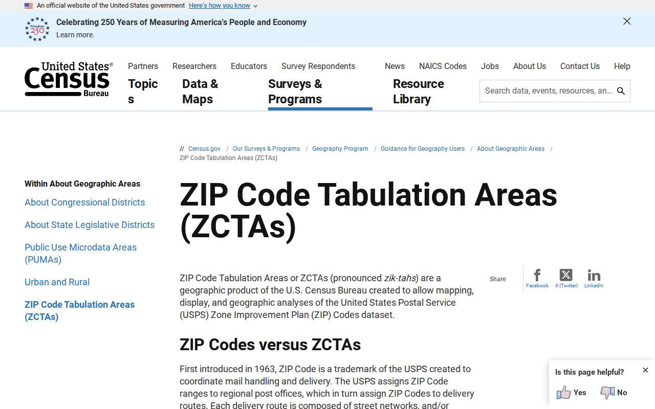
The Census explanation supports using the correct term when comparing a ZIP code result with a Township boundary.
The boundary issue is especially important around Marple Township because the common Broomall label coexists with documented Media and Springfield postal labels. Start with delivery verification, then check the municipal street-map or County property record for the legal location. This workflow is more reliable than using a nearby place name as a shortcut. It also keeps historic research from confusing an older locality reference with a current USPS service area.
- ZIP versus ZIP+4
- A ZIP identifies a delivery area; ZIP+4 adds a more specific delivery segment.
- PO-box ZIP
- A postal ZIP used for post-office boxes rather than a general street-delivery area.
- Unique ZIP
- A ZIP assigned to a single organization or high-volume recipient.
- Carrier route
- A delivery sequence used by USPS within its service operation.
Marple Township Address Evidence Changes
Older Marple sources often use a road, locality, or landowner reference. Later records increasingly use subdivision, parcel, and street-address conventions after twentieth-century growth and postwar developments such as Rose Tree Woods and Lawrence Park. Preserve the modern address together with the legal description or lot information when tracing an older record. No Township-wide readdressing chronology was verified, so no such date should be assumed.
The County GIS and parcel-data request route shows the official path for mapping support when the public record needs more than an address label.
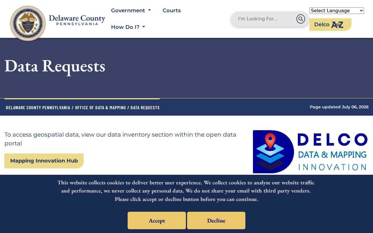
GIS assistance can clarify parcel or map context without changing the difference between postal delivery and municipal jurisdiction.
Historic research needs the same caution. Delaware County PA History lists Marple maps and atlases dated 1848, 1868, 1870, 1875, 1882, 1892, 1909, and 1929. The two verified Marple directories are 1870 and 1872. Compare an older road or locality with those sources before forcing it into a current ZIP label. A map or legal description may connect the periods, while a postal code cannot be projected backward onto an older record.