
Walk a Marple Township Street
The useful address path is a record chain, not a claim that an entire road has a public household list. The County real-estate record starts with the physical property. Its folio or parcel information then reaches Recorder Cloud Search. The recorded document supplies parties, a recording date, and the legal description that tests whether the next older document concerns the same land. A permit or resale file can add construction or inspection dates through the Township counter. Ward and precinct maps add civic orientation only.
- Enter the house number and street in the County Address Search. If searching a road, leave Number blank and use the street name without its suffix.
- Record the parcel, folio, map number, site address, and municipality from the assessment card.
- Enter the Parcel ID, with dashes, in Recorder Cloud Search and inspect the newest recorded document.
- Compare the grantor, grantee, date, subdivision or lot, and legal description before moving back to the seller's acquisition.
- Use Code Enforcement, the Township map, and the historical map layer only for the separate address questions each source can answer.
That sequence keeps a parcel's ownership evidence separate from a person's residence. It also avoids treating a tax mailing address or an OCR mention as proof of occupancy.
Search Marple Township Streets
The Delaware County Real Estate, Homestead Status & Tax Records system is the address-search portion of this records path. The inspected direct Address Search accepts Number and Street text criteria. Both are optional. The County says to enter the street without a suffix, so a road called Main Street is searched as Main. An asterisk wildcard is accepted. Leaving Number blank and entering a Street brings up matching parcels along that road. The result controls can sort by Parcel ID, TaxMap ID, Owner Name, Property Address, Sales Date, Sales Amount, Land Use Description, or Map.
| Address-search field or control | Verified street use |
|---|---|
| Number | Optional text criterion; leave blank for matching parcels on a named street. |
| Street | Optional text criterion; use the road name without its suffix and use * when needed. |
| Parcel ID and TaxMap ID | Sort or record the identifier that connects the property to later research. |
| Owner Name | A displayed or sortable field, not an available name-search filter. |
| Rows per page | The interface offers 15, 20, 25, 30, or 50 rows per page. |
The Board of Assessment & Appeals supplies the official property and assessment context.
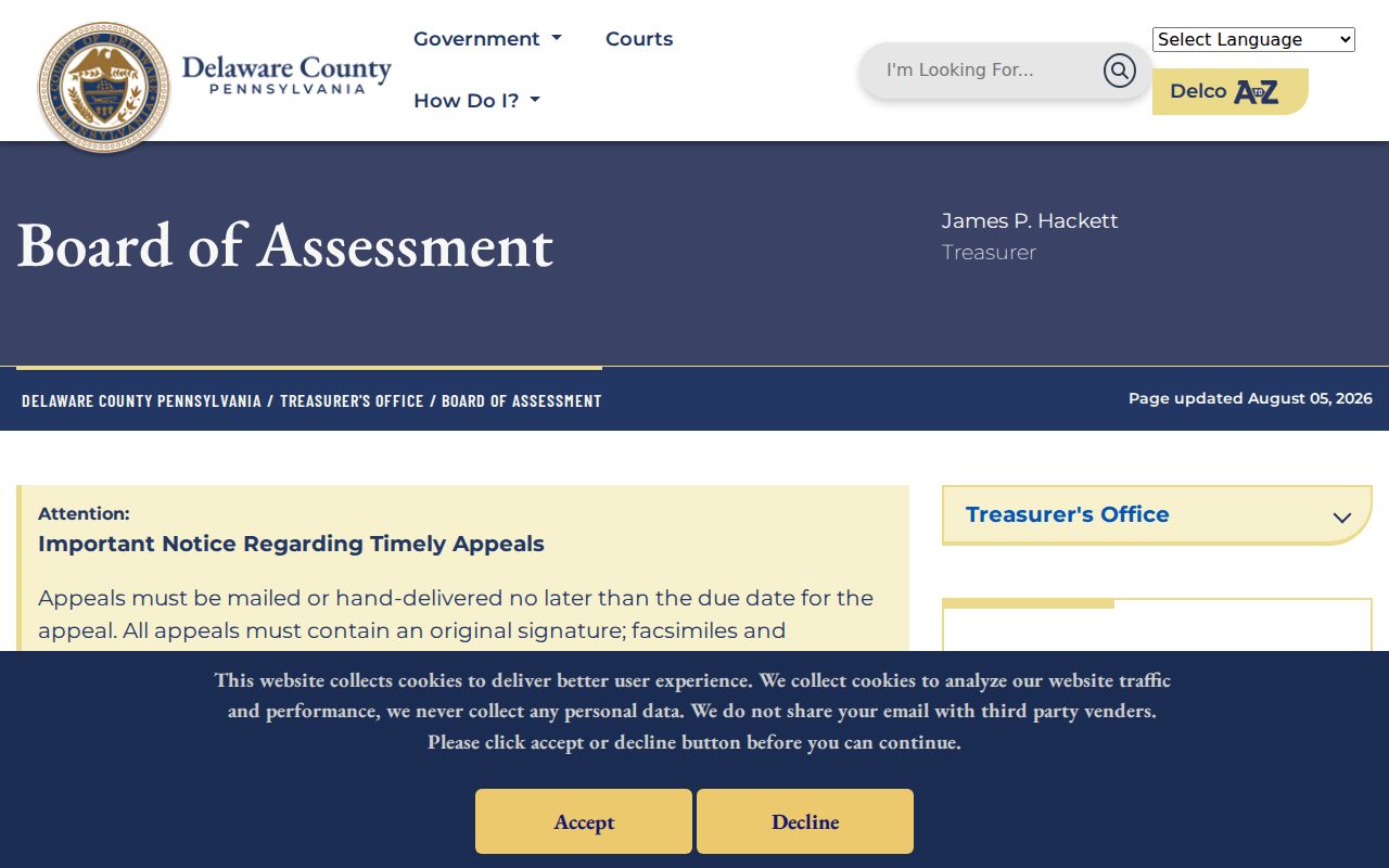
The County's removal of owner-name searching for security and privacy is important: a street or parcel query is the documented route, rather than a broad name search.
Marple Township Street Parcels
A parcel card is rich, but its fields need careful reading. The inspected non-identifying card has Site Information, Residential, Commercial, Delinquent Tax, Sketch, and Map tabs. It can show a parcel ID, site location, legal description, map number, municipality, school district, property type, homestead detail, owner names, care-of and mailing information, owner history, assessment values, and tax-receivable data. The owner-history row is a research lead. It is not a certified chain of title, so a serious ownership question goes back to the recorded instrument.
The most common mistake is to treat the site, owner, homestead response, and tax mailing destination as one fact. They are not. The site, also called the situs, is the physical parcel. A mailing address is where future tax bills go. A homestead or farmstead answer is an administrative tax-program attribute. A recorded owner may use a care-of address or other billing destination. None of those entries identifies every current occupant.
- Parcel
- The property unit identified in assessment and mapping records.
- Situs address
- The physical address of the parcel, distinct from the tax-bill mailing address.
- Plat or plan
- A recorded map or plan that can identify a lot, subdivision, or roadway relationship.
- Criss-cross directory
- An address-organized directory. No verified Marple Township criss-cross collection was found, so it should not be assumed.
Note: A tax card's mailing field is evidence of tax correspondence only, and should not be used to identify a resident at either address.
Marple Township Street Deeds
The Recorder turns a parcel into a documented transfer trail. Cloud Search offers Quick Search and Advanced Search. The Quick Search controls include Search Term, optional Recorded Date range and quick periods, plus Index Only or Index & Full Text OCR scope. The Recorder says its preferred property key is a Parcel ID in the format xx-xx-xxxxx-xx. Use Index Only for indexed party, subdivision, document-type, or document-number research. Use the OCR scope when document language is relevant, then confirm every phrase against the instrument and legal description.
The Delaware County Recorder of Deeds explains the record scope, access routes, and the Property Alert service.
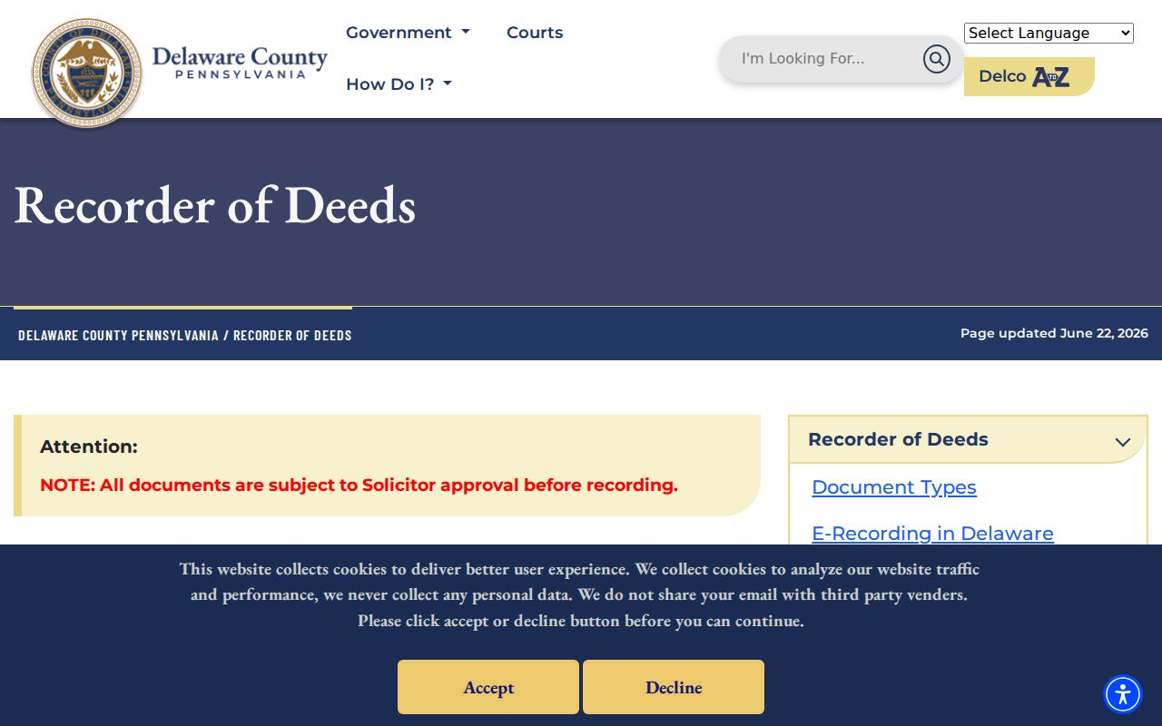
Start from the newest deed, read the grantee and grantor, then find the seller's acquisition only when the lot, subdivision, parcel, or legal description matches. A street address can change or disappear in an older chain. The legal description and plan references are the better bridge.
The Recorder says its property records date from the County's 1789 founding and that online copies run from 1799 to the present. Its older online-recording-information statement begins in 1982. Check the live system or counter for the available metadata and copy route for the period at issue.
Marple Township Street Records
Several custodians hold address-keyed records, but each documents a different relationship to the property. The assessment system and Recorder work together most closely. Mapping supplies geography and parcel identifiers, not an owner field in the inspected public layer. Township Code Enforcement can have permit, resale, zoning, or code-file leads by address, yet no public searchable permit index was found. These records should preserve their separate boundaries instead of merging every source into an alleged resident list.
| Address-keyed record | Keeper | What it can show | Access limit |
|---|---|---|---|
| Real-estate, tax, and homestead record | Board of Assessment | Owner, site, building, folio or map, and tax context | It does not identify every occupant. |
| Deed, mortgage, release, or plan | Recorder of Deeds | Recorded parties, dates, document type, and legal description | A transfer is not proof of occupancy. |
| Public parcel layer | ODMI and Board of Assessment | PIN, PARID, site address, municipality, description, size, and geometry | The inspected layer has no owner field. |
| Permit, resale, or code file | Marple Code Enforcement | Work, inspection, application, or scope leads | Counter and form route only; no public index was found. |
| Street map and precinct data | Marple Township | Ward, precinct, polling-place, and trash-day geography | It does not disclose voter names. |
| Historic directory or map | Local-history collections | Earlier locality, road, landowner, or business context | Directory years are limited and coverage is not continuous. |
For a single person rather than an address chain, the Marple Township resident lookup uses separate name, court, estate, and vital-record checks.
Marple Township Street Mapping
Delaware County's Office of Data and Mapping Innovation, or ODMI, provides the Mapping Hub, municipal maps, and custom-map or data-request route. The Board of Assessments remains responsible for parcel information. The public parcel feature layer exposes geometry plus fields including PIN, PARID, site address, municipality, legal-description, and size information. It has no owner field. Use its PIN or PARID to reach the responsible assessment record, then use the Recorder for the document trail.
The Delaware County Mapping Hub is the County's map and data starting point.
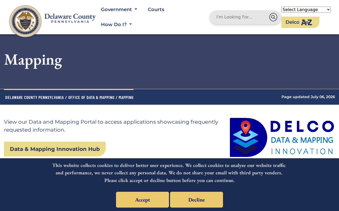
The reviewed County pages did not document a public adjacent-parcel selector, buffer tool, owner popup, or a full live layer list. Use visual browsing or request a property map or data product rather than promising an unverified one-click street feature.
GIS Manager and Board contact Anita Bostwick is listed for parcel data or property-map questions at 610-891-4793. The Mapping office also lists data_mapping@co.delaware.pa.us and 610-871-3899 for its data-request route.
Marple Township Street Code Files
Code Enforcement is a useful side channel when the aim is to date a construction, renovation, resale inspection, or land-development event at an address. The department reviews building, plumbing, electrical, mechanical, fire, grading, and related permits and conducts code inspections. Its public page offers forms, including Generic Permit 2026, resale, grading, sign, contractor-license, occupancy, and subdivision or land-development materials. No public online permit or case search was located during the research.
The Marple Township Code Enforcement page supplies the form and department route.
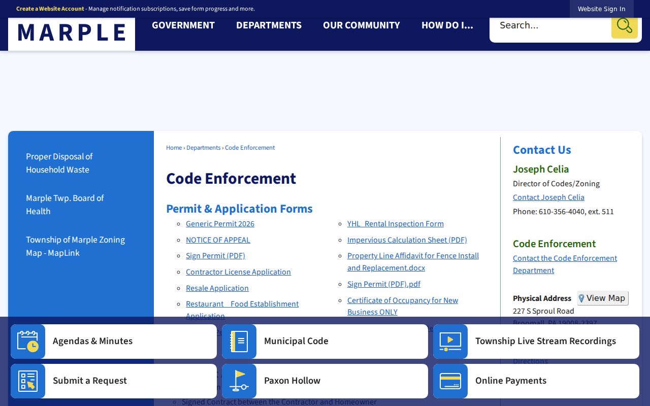
For a specific property, call Code Enforcement at 610-356-4040 and ask what permit, resale-inspection, zoning, or code file can be requested by address. The department's published Director of Codes/Zoning extension is 511. A responsive file may still have exemptions or redactions.
Marple Township Street Maps
Township Street Maps give a local civic reading of an address. They connect streets to ward, precinct, elected-representative, polling-place, and trash-day information. That makes them useful when a road appears under a postal label such as Broomall, Media, or Springfield and the researcher needs municipal orientation. The maps are not a voter-name tool. Pennsylvania's voter-status route is for an individual, while the separate voter-list process has its own request, permitted-use, and protected-address rules.
The Township Government page links to Street Maps and the related civic information.
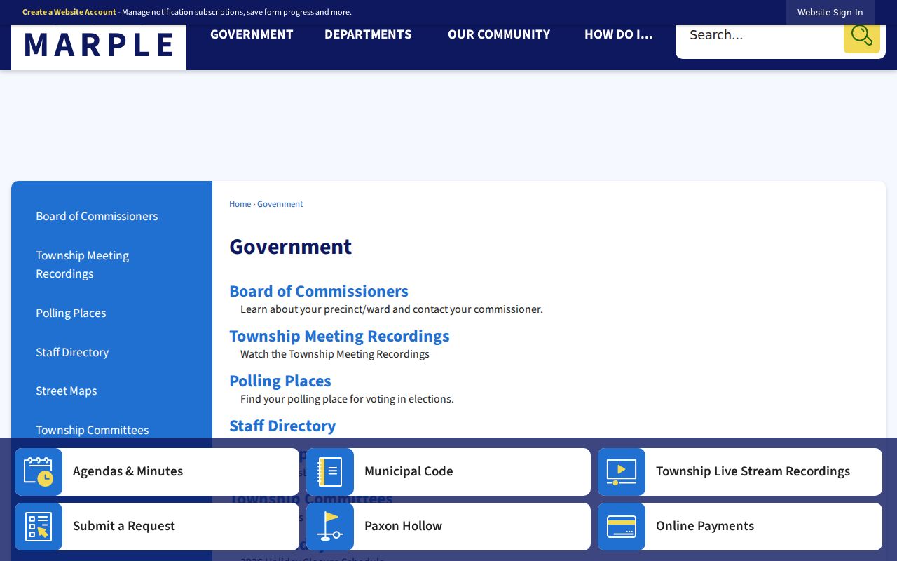
The map gives geographic context for an address, then the property and Recorder records supply the separate parcel and documented-transfer context.
Marple Township Street History
A modern address trail can reach older records only by allowing the address language to change. Delaware County's Recorder preserves property records from 1789, and the local map and atlas trail begins with the 1848 Ash map. Listed local map years include 1868, 1870, 1875, 1882, 1892, 1909, and 1929. The verified Marple directories are limited to 1870 and 1872. They are useful time markers, not a continuous address directory.
Marple history describes a rural and agricultural township, early roads, twentieth-century trolley growth along West Chester Pike, and postwar development such as Rose Tree Woods and Lawrence Park. Older sources may therefore use landowner, road, locality, or lot wording where a later deed or tax card uses a subdivision and street address. Preserve the legal description before assuming a modern house number can be carried backward unchanged.
The research found no verified township-wide street-renumbering or street-renaming ordinance and no official readdressing year. That absence matters. A map, deed plan, and lot description are better evidence than a guessed conversion.
Marple Township Street Limits
The public property and deed trail cannot show every resident on a road. Property records document owners and parcel facts. Deeds show recorded transfers. The state voter-status tool is not a street browse list, and controlled voter-list products cannot be posted as an internet roster. Utility and delivery customer lists are not public residential directories. Motor-vehicle address data follow statutory restrictions. An adjacent parcel creates a land-record relationship, not permission to identify a household.
Pennsylvania's Address Confidentiality Program provides a substitute address for eligible participants, and the actual address is confidential under 23 Pa.C.S. chapter 67. Never infer or reconstruct a protected address from parcel, mailing, court, or voter information. Pennsylvania also treats protected personal data differently by source, so an available field in one record does not waive restrictions in another.