
Marple Township Neighbors by Block Source
Marple Township neighbors are best understood through a small set of distinct public sources. The County parcel and map route shows land parcels and the identifiers tied to them. The assessment record supplies owner, site, folio, map, building, and homestead information. Recorder documents place parties and legal descriptions in a transfer history. Township street maps add ward and precinct context. Each source answers a narrow question. Together they describe a block's public property context, not a complete roster of people who live there.
| Block source | What it can show | Access and boundary |
|---|---|---|
| County parcel, map, and folio record | Parcel shape, site, folio, and map orientation around an address | Board of Assessments and ODMI split responsibilities; a parcel is not a household list |
| Real-estate and tax record | Owner, building, folio or map number, and homestead status | Owner name is displayed in record context, but owner-name searching was removed for security and privacy |
| Recorder document index | Parcel-linked current or prior owner, deeds, and plan history | Documents concern property transfers, not every nearby resident |
| Marple street and ward maps | Ward, precinct, representative, polling-place, and municipal orientation | Public geography only, not voter identity |
| Voter status and list procedures | Individual status route and a controlled list-request process | No public browse-by-block web roster; protected addresses remain protected |
| Community and committee routes | Organization contacts, public meetings, and historical context | No verified membership directory or household roster |
A parcel owner and an occupant are different facts. A mailing address can be a tax-bill destination elsewhere, and a homestead response is an administrative field. Those details should never be expanded into an assumption about everyone in a home. Start by identifying the parcel accurately, then use only the source that actually answers the question.
Map Marple Township Neighbors by Parcel
The County's parcel work is deliberately divided between the Board of Assessments, which maintains parcel information, and the Office of Data and Mapping Innovation, which provides mapping and custom-data channels. The Delaware County Mapping Hub can orient a block. The research did not document an automated neighbor, buffer, owner-popup, or click-adjacent tool. Use visual map browsing or ask the Board GIS contact for a property map or data product instead of inventing a one-click feature.
- Start with the address in the County real-estate record, then write down its folio or parcel number and its site location.
- Open the mapping route and orient the subject parcel. Identify parcels touching or surrounding it by their actual map boundaries, not by similar street numbers.
- Keep every adjoining folio separate. Open each official property record to see its own site, owner, and administrative fields.
- Take a documented parcel ID to Recorder Cloud Search for the recorded deed and party context when a property-history question remains.
- Use the Marple Township by-street directory only when the question becomes a full street record chain rather than the immediate block.
- Folio or parcel ID
- The County identifier for one land parcel. It prevents neighboring lots from being mixed together.
- Situs
- The physical property location listed in assessment data. It is different from a tax-bill mailing address.
- Legal description
- The lot, block, subdivision, or land description in recorded documents. It is often the stable link when an address changes form.
The ODMI data-request route supplies the County mapping contacts and a custom-map option. It is the right fallback when the public map does not expose the needed parcel detail. The mapping page says parcel information is maintained and disseminated by the Board of Assessments, so use the responsible property record to confirm a map clue.
Marple Township Owners Are Not Households
A neighborhood map can make a block look more complete than the underlying records really are. The County's real-estate and tax system is a property trail. County pages say it can provide site-owner, building, folio or map-number, and homestead information. The related address-search interface accepts Number and Street, asks that the street be entered without a suffix, and permits a blank Number with Street to return matching parcels. That is an address or parcel route. It is not a people search.
The County removed owner-name searching and property photographs for security and privacy. Owner Name can appear as a displayed or sortable result field, but it is not a permitted name-search filter. The Board of Assessment and Appeals explains the responsible County property channel. A tax mailing address, owner name, and site address must remain distinct even when they appear near one another on a card.
Record-reading tip. A nearby parcel can establish land context and a recorded owner, not every household member or a person's current presence at the address.
Marple Township Neighbors in Recorded Deeds
When the question is about a neighboring parcel's property history, move from its verified Parcel ID to Delaware County Recorder Cloud Search. The Recorder says Parcel ID is the best key and requires the format xx-xx-xxxxx-xx, including dashes. Its Quick Search can use a term for grantor, grantee, subdivision, document type or document number, plus a recorded-date range and an Index Only or Index and Full Text OCR scope.
Read the document type, parties, recording date, and legal description. Then confirm whether the plan, lot, or parcel matches the same block. A deed can explain a boundary or a prior transfer. It does not identify all neighbors or establish current occupancy. The Recorder says online copies are available from 1799 to the present and its physical property record trail begins with the County's 1789 founding. Older County text also identifies online recording information from 1982 onward, an access layer that should be checked live for the target period.
Note: Parcel ID, rather than a guessed owner name, is the County's documented bridge from an adjacent lot to Recorder documents.
Marple Township Ward Maps and Voter Rules
Marple Township's official Government and Street Maps route helps translate an address into ward, precinct, elected representative, polling-place, and trash-day context. That civic map is useful for orienting a block. It does not identify voters. Pennsylvania's Find Voter Registration Status route is for an individual's status and also directs a voter to the county office or 1-877-VOTESPA.
The separate State voter-list request form describes a public-information list, street list, walking list, and full voter export under a controlled request process. It lists requester information, identification alternatives, product and county selection, and a signed declaration that restricts use to election, political, or law-enforcement purposes. The public-list rules exclude electronic signatures, unique registration identifiers, driver-license numbers, and the last four Social Security digits. They also prohibit internet publication and protect certain addresses.
For Marple Township neighbors, the usable distinction is simple. Use a street map for civic geography, direct a person to the individual status tool for their own registration, and do not treat a list-request form as permission to assemble a public block roster.
Marple Township Community Contact Routes
Marple's community layer is real, but it is a contact route rather than a resident directory. The Township identifies the Historic Commission, Library Board, Board of Health, Planning Commission, Park and Recreation Board, Tree Commission, and the 1696 Massey House Corporation connection. Its Community Links name Broomall Fire Company, Broomall Rotary, Legion Post 805, youth leagues, Marple-Newtown Recreation, and local sports organizations. These pages are useful for a public meeting, service, or local-history inquiry. They do not establish a member list or where someone lives.
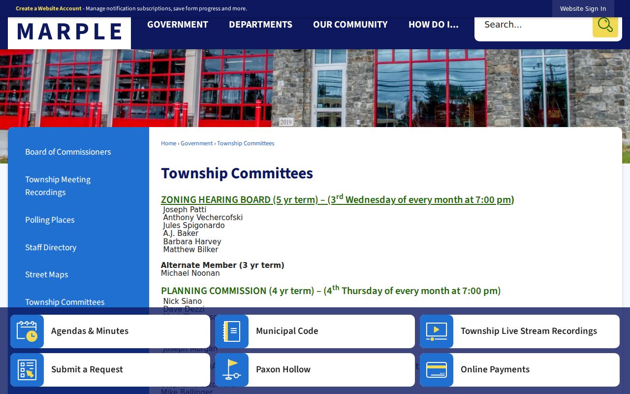
Township Committees
Historic, planning, health, library, recreation, tree, and related public committee routes.
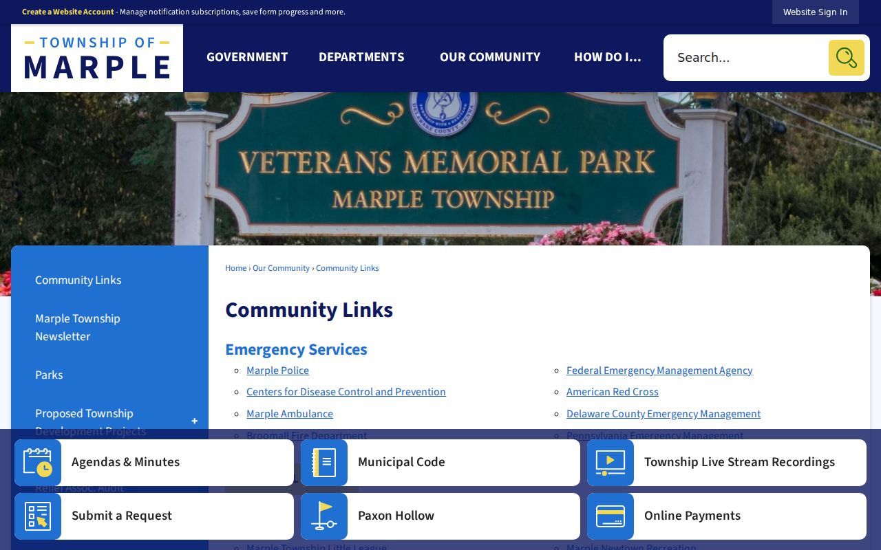
Community Links
Public contact paths for civic, service, recreation, and local organizations.
Marple Staff Directory
Township departments and government contact channels, not resident information.
The Township Committees source is shown below. It is a practical way to find public civic contacts without turning organizations into a neighbor list.
The Community Links capture adds local organization contacts. Use it to reach an appropriate public route, not to infer membership or a home address.
The Marple Township Community Links source appears below.
The Marple Township staff and department directory is a separate government-contact path. It also appears below and should never be read as a list of Township residents.
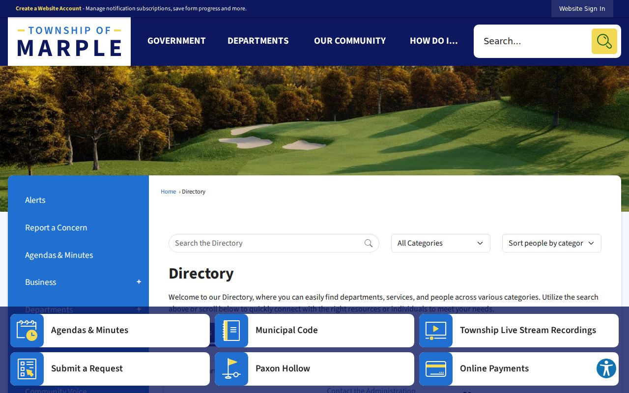
Government contacts, community contacts, and a historic collection each answer a different question. Keeping them separate protects the accuracy of a Marple Township neighbor search.
Rose Tree Woods Neighbor History
For a historic neighborhood question, the Marple Historical Society offers more specific local context than a generic people search. Its Dolores Ball papers include Rose Tree Woods and Rose Tree-Trout Run Civic Association material, along with Marple-Newtown School District and Board of Supervisors documents from 1958-1959 and 1963. The holdings can help place a postwar development in its period. They are not a current association roster.
The Society's Hilda Lucas Memorial Library & Museum has historic photographs, clippings, notebooks, scrapbooks, and older business records. Research is appointment-only and onsite. Its c. 1940-c. 2000 Marple Township newspaper collection is still being cataloged and is not available to researchers. That access limit is worth preserving: a promising local source is not the same as an open database.
Rose Tree Woods and Lawrence Park are documented postwar developments. Older sources may instead name a road, locality, landowner, lot, or subdivision. Compare maps and recorded legal descriptions before carrying a modern block label into an earlier record.
Official Marple Records and Commercial Tools
Commercial neighbor products are an unlinked category that may combine recorded ownership, address history, and other data. They can be late or wrong, and their mix of sources may not tell a reader what a field actually proves. For a local block question, the accountable route is the official parcel record, the Recorder document source, and the specific civic or historical source that fits the period.
| Source type | Best use for a Marple block | Important limit |
|---|---|---|
| County parcel and assessment records | Confirm parcel, situs, folio, owner, and property facts | Does not identify every person at an address |
| Recorder documents | Confirm property transfers, parties, and legal descriptions | Ownership transfer is not present-residence evidence |
| Township civic contacts | Reach public committees and organizations | Not a membership or household directory |
| Commercial neighbor category | May offer leads to test independently | Source mix, timing, and accuracy may be unclear |
Use the source that owns the fact. An official map cannot fill a private household gap, and a commercial result should never replace a County record or a custodian response.
Marple Township Neighbor Privacy Limits
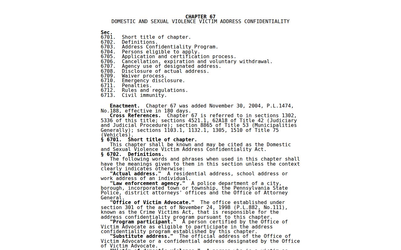
Some information stays off a block map. Utility, delivery, motor-vehicle, protected court, and protected-address information do not become public just because a nearby deed exists. Pennsylvania's Address Confidentiality Program gives an eligible participant a substitute mailing address for certain records. Under 23 Pa.C.S. ch. 67, the actual address, application, and waiver information are confidential except as the law permits. Never try to infer or reconstruct a protected address from adjoining parcel data.
The Pennsylvania Address Confidentiality Program source is shown below. It is a safety route for eligible victims of domestic violence, sexual assault, stalking, human trafficking, or child abduction, and applications go through a victim-service provider or online.
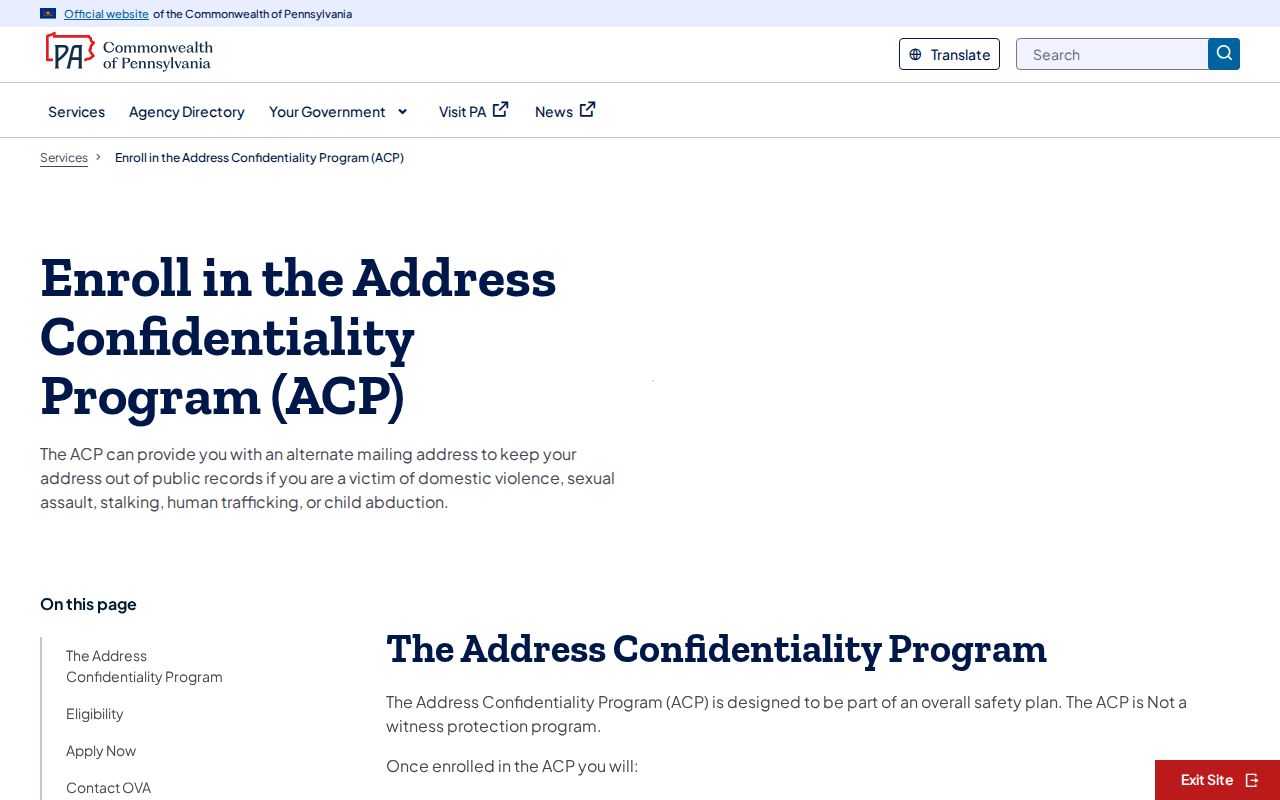
The linked Pennsylvania address-confidentiality statute gives the controlling legal boundary. It is displayed in the following capture.
For a discrete official public-safety search, use the Pennsylvania Megan's Law Public Website, not a neighborhood parcel search. Its assigned source capture appears below.
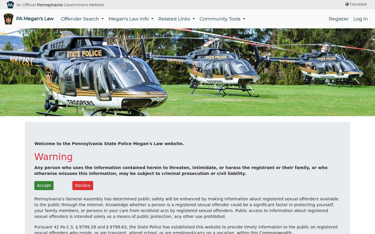
That separate public-safety route does not turn a block record into a neighbor roster. Go directly to the responsible official source for the specific question.
Lawful use. Marple Township neighbor research can support civic orientation, local history, and personal safety awareness. Do not use it to watch, contact, stalk, harass, or harm anyone.